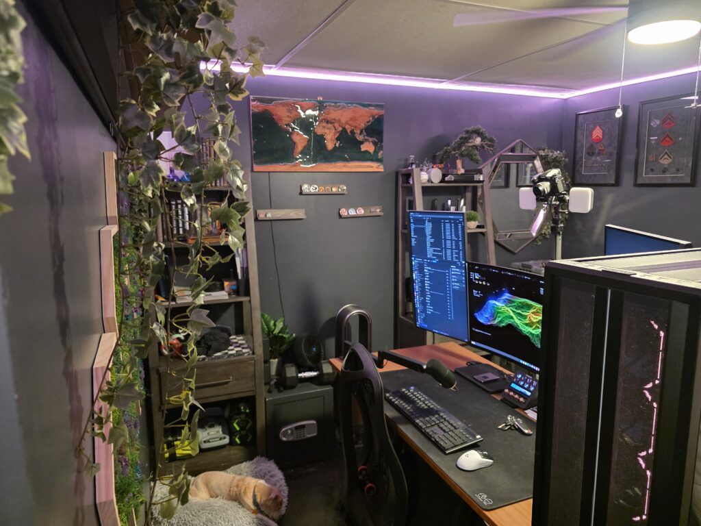
Technologies in this project:
Wood: Maple
Resin: Deep Pour Epoxy
Routing: CNC Machinery
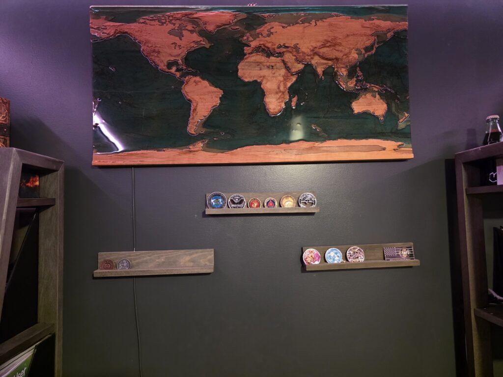
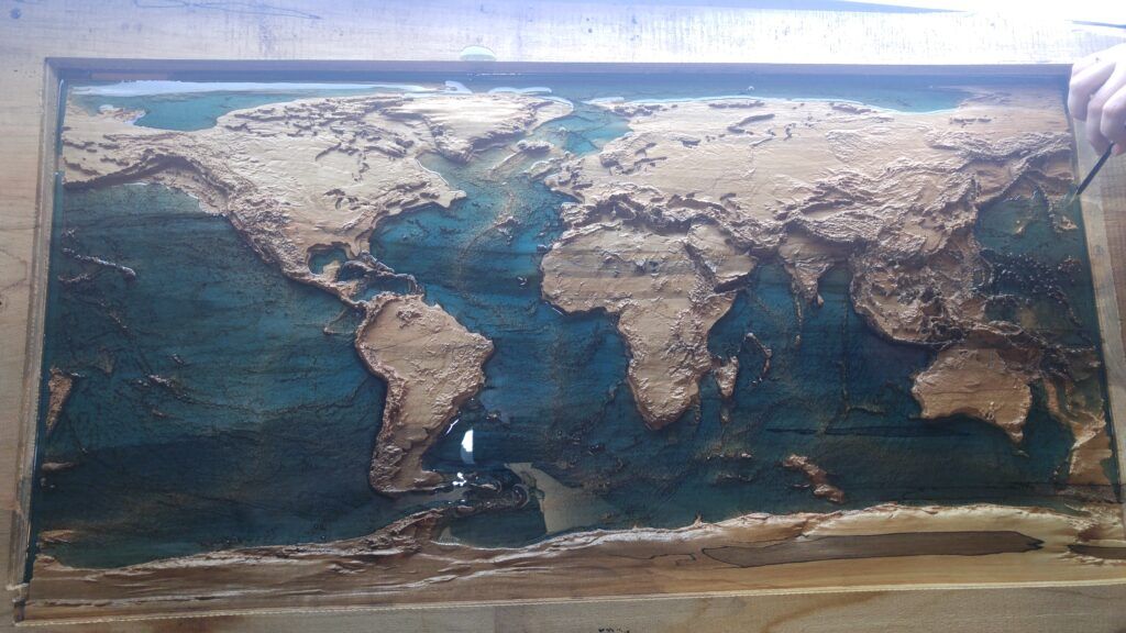
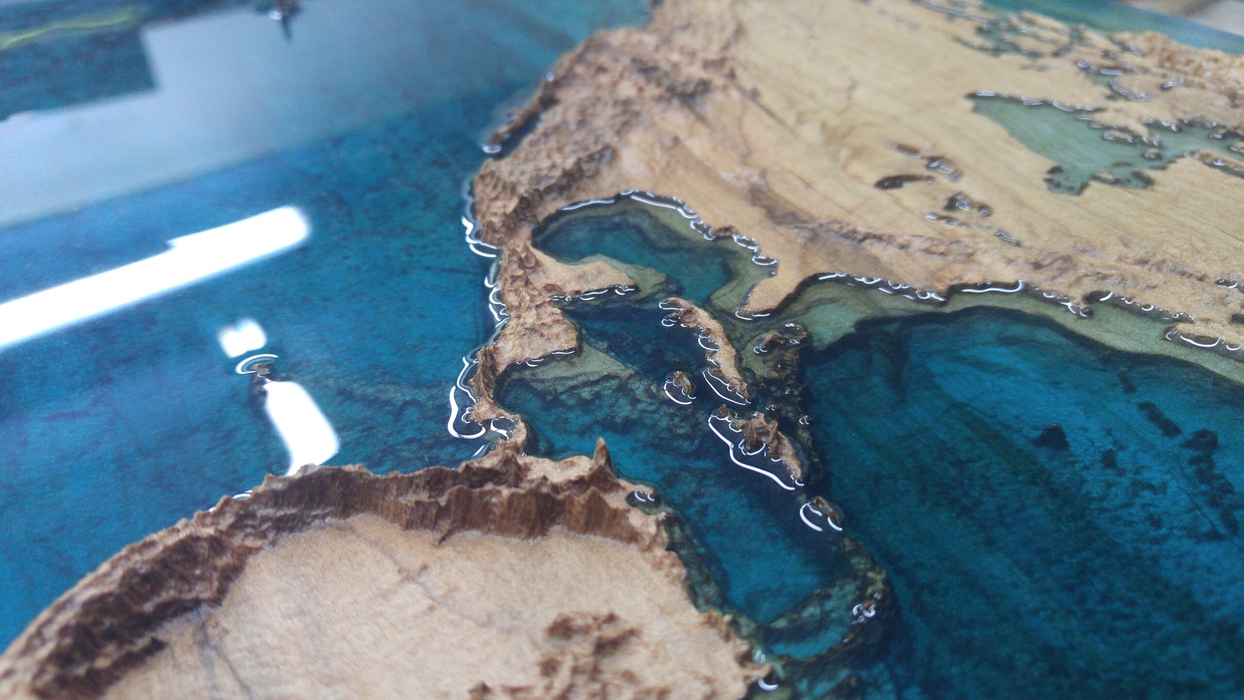
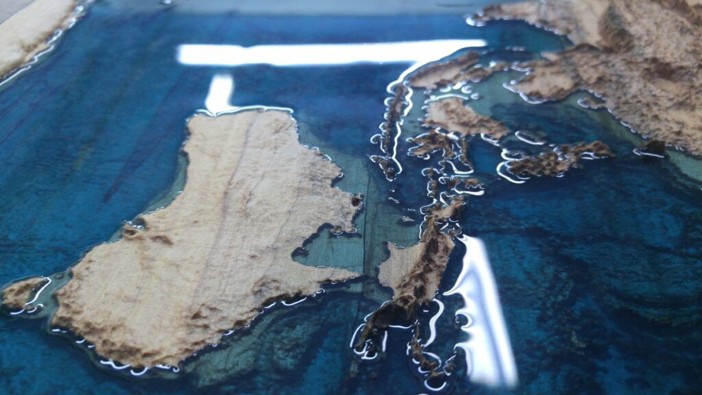
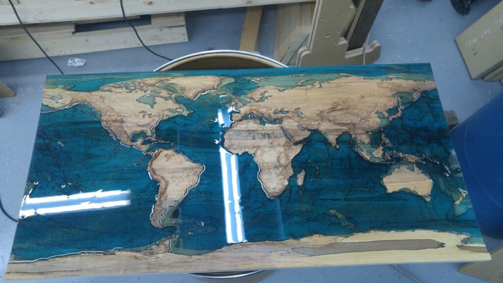
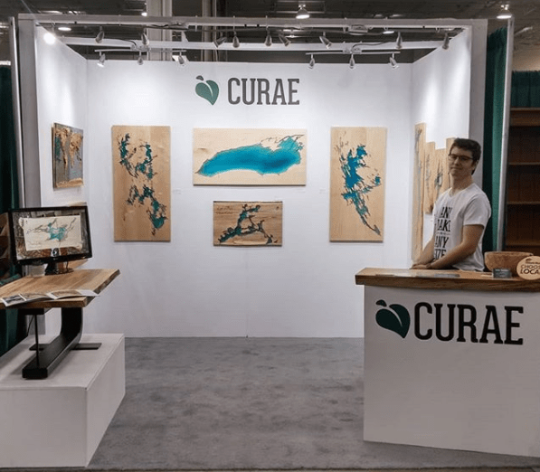
Heh, obviously this isn’t as much a technical project as it is an interesting piece of art that was quite a journey. It was created by Curae, a company that has high-quality customized works similar to this. I originally got some smaller pieces for family members over important places to them. However,for myself I wanted something a bit more grand and “worldly.” This piece is 2ft (0.61m) x 4ft (1.22m), and it was one of their earliest larger pieces and turned out incredible! It features worldwide topography and bathymetry with a filled ocean of blue dyed epoxy resin.
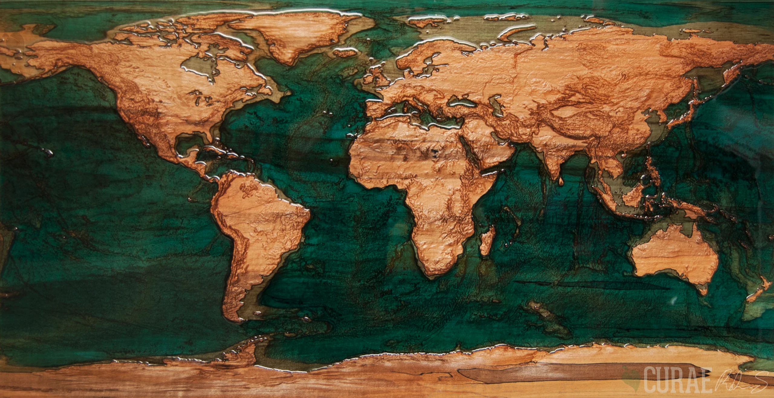
It’s easily the best piece of art I have around and I’m glad that it incorporates something from a mapping/GIS aspect so well. Although I can’t boast the impressive amount of work that went into designing this piece I can go into a bit of the detail of the type of data that was utilized. In this instance when working with such exact specifics and considerations for accuracy without the ability to edit its quite involved. The process used by Curae and their final output may not follow these exact guidelines but should give people a good idea of the difficulties when faced with visualization and practical application of this data at such scales.
Nerd Stuff
Below is the more detailed bit that may dig into some technical stuff, fell free to check it out if you’re curious about the types of data needed to get to a CNC machine and some of the considerations that make a piece like this so challenging.
Data Collection
The first step is getting worldwide data. For a project of this scale, we don’t need terribly accurate data but if you were curious what the data would look like, I’ve got you covered. I’d personally recommend two sources for worldwide topography and bathymetry together.
- https://www.ngdc.noaa.gov/mgg/global/global.html
- This site has the pros of being simple and providing a single file format for the entire world to include both topography and bathymetry. I also like that it has the option to download an already georeferenced .tif file which I find to be a fairly universal file type for data of this caliber. Georeferenced .tif files can be loaded easily in almost any mapping program without needing to do any extra work.
- The con is that it has 1 arc-minute resolution. This is likely fine for a small-to-medium-sized piece on a worldwide extent. However, it may be a bit lackluster if you were to focus on more specific extents.
- https://topex.ucsd.edu/WWW_html/srtm30_plus.html
- This site has an improved resolution of 30 arc-seconds, which will have a bit more detail than the above source. Although this will cause the data to be a bit bulkier to handle due to this increased size limit, if you needed better accuracy due to a more focused extent, this could be a requirement.
- The con is that the downloads are not set up as conveniently as they are broken down into multiple tiles and may require a bit of conversion depending on the file type you would prefer to work with. You’ll have to check and make sure you’re processing the tiles or converting appropriately.
From here we can simply set up the data into a format that allows us to apply some edits and calculations. This will help to fix potential issues that could stem from the way this data would need to be altered to make sure the wooden outcome isn’t too difficult to work with.
Data and Product Concerns
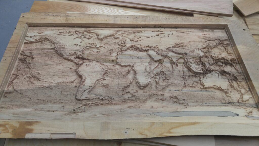
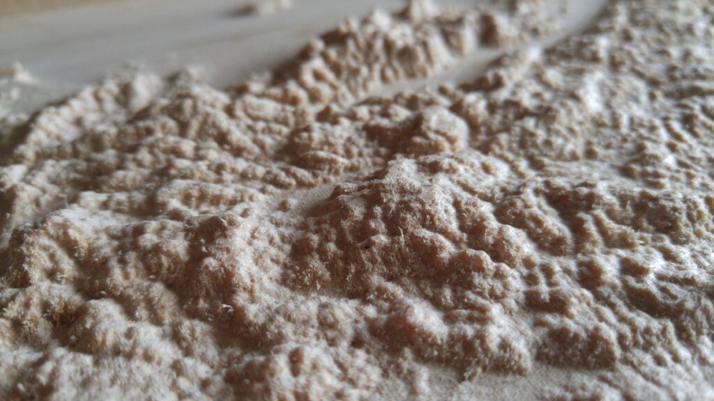
Initially, the scale of the whole world fitting onto a 2ft (0.61m) x 4ft (1.22m) slab will result in a fairly underwhelming 3D representation. Relatively speaking, the earth is quite flat. To make the piece stand out, we would need to exaggerate the elevation values to an amount where they would be identifiable so that the mountains and topography can be more easily noticed and felt. This part is obviously removing any vertical accuracy of the piece but does provide a far more aesthetically pleasing look and feel.
Another major consideration is the fact that shorelines are often not perfect walls and are rather a gentle slope into the ocean. Although not true everywhere, it would be almost impossible to identify the coastlines due to how flat things are at this worldwide scale. Areas that had terrain near sea level would be a nightmare to fill with epoxy resin since its viscosity would not allow it to remain perfectly level especially over such large expanses. The inability to have a hard wall separating the shorelines from land would likely make it impossible to fill along an accurate shoreline on a practical level. As such to remove as much room for error as possible we can take shoreline areas and define them simply by subtracting an appropriate amount from all the outlying raster cells. This will “drop” the ocean floors by a considerable amount creating clean walls for the continents, islands, and/or landmasses to sit upon. This will make it far easier to determine where pours should stop to maintain accurate coastlines while still retaining the bathymetry beneath. The same process may also be repeated for landlocked lakes, seas, and water bodies.
The water body shelves and greatly exaggerated elevation look silly digitally, but by the time the wood is done being routed and the epoxy has the shelves to fill the output is absolutely gorgeous. I do believe this scale of product would put future complex creations into the 5-figure range of cost today and is likely not produced often if at all any more. I’m so fortunate to own this piece as an early adopter during Curae’s growth and it is one of my proudest pieces to have in my office!